Bay Area residents can expect more rain this weekend into next week as another cold front is expected to move through the region, bringing more rainfall, cooler temperatures and even some snow to Bay Area high-elevation ridges and peaks, meteorologists said Saturday.
“Off-and-on rain showers” will persist throughout the Bay Area region on Saturday night into Sunday morning, and will likely continue through a “good portion” of Sunday before another cold front is expected to move into the region, said Roger Gass, a meteorologist with the National Weather Service Bay Area office.
Gass said the cold front expected to drop on Sunday night into Monday morning will bring “much colder” temperatures across the Bay Area starting on Monday, with those temperatures settling potentially into the middle of next week. Cities in the North Bay won’t see temperatures warmer than the 40s, San Francisco is expected to see temperatures hovering around 50 degrees. Interior valleys in the North Bay, East Bay and South Bay — such as the southern portions of Santa Clara County — could see freezing temperatures, in the low 30s, Gass said.
Overnight temperatures will drop into the 30s starting Monday into Tuesday, even in cities like San Francisco, Gass said.

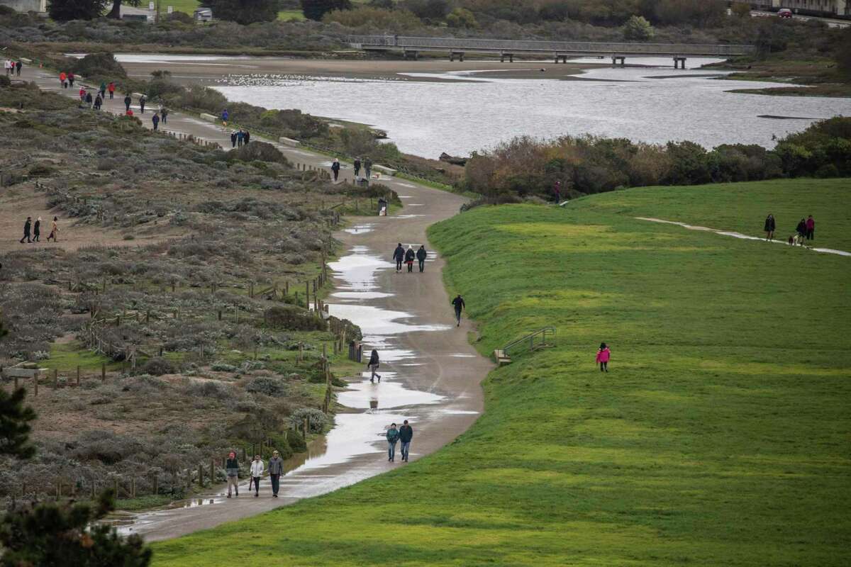
Pedestrians walk along a water-clogged path on San Francisco’s Crissy Field on Christmas Day.
Stephen Lam/The ChronicleSunday’s weather system is bringing the potential for snow fall in higher elevations of the Bay Area, Gass said, particularly in areas over 2,500 feet. Gass said places such as Mount St. Helena, Mount Diablo and Mount Hamilton could see snow fall, with the latter already seeing a “little bit of snow” as of Saturday afternoon, Gass said.
“There is a possibility that the Bay Area residents are likely to be able to look out into the hills and see some snow on those peaks,” Gass said. “It won’t be uncommon to see some snow in those peaks.”
Gass said it’s difficult to pinpoint the expected snow fall totals for those high elevation peaks and ridges, saying that “All of the moisture and the cold air has to really just align right to see that occur.” Mount Tamalpais may see “a little bit of snow mixing,” Gass said.
Another, weaker cold front is expected to drop into the region on Tuesday going into Wednesday, which will bring less rainfall than what residents have experienced in the past few days, Gass said.
Across the Bay Area region, Gass said residents may expect to see another .75 to 1.25 inches of rain over the next few days. In the past 24 hours, San Francisco has seen between .3 to .6 inches of rain, portions of the East Bay have seen three quarters of an inch to 1 inch of rain, San Jose has recorded about a tenth of an inch to a quarter of an inch, and areas in the North Bay have seen between a quarter of an inch to half an inch, Gass said.
Lauren Hernández is a San Francisco Chronicle staff writer. Email: lauren.hernandez@sfchronicle.com Twitter: @ByLHernandez
"bring" - Google News
December 26, 2021 at 07:18AM
https://ift.tt/3pqATcv
Snow in the Bay Area? Another cold front to bring rain, low temps, flurries to region’s peaks - San Francisco Chronicle
"bring" - Google News
https://ift.tt/38Bquje
Shoes Man Tutorial
Pos News Update
Meme Update
Korean Entertainment News
Japan News Update
Bagikan Berita Ini


0 Response to "Snow in the Bay Area? Another cold front to bring rain, low temps, flurries to region’s peaks - San Francisco Chronicle"
Post a Comment