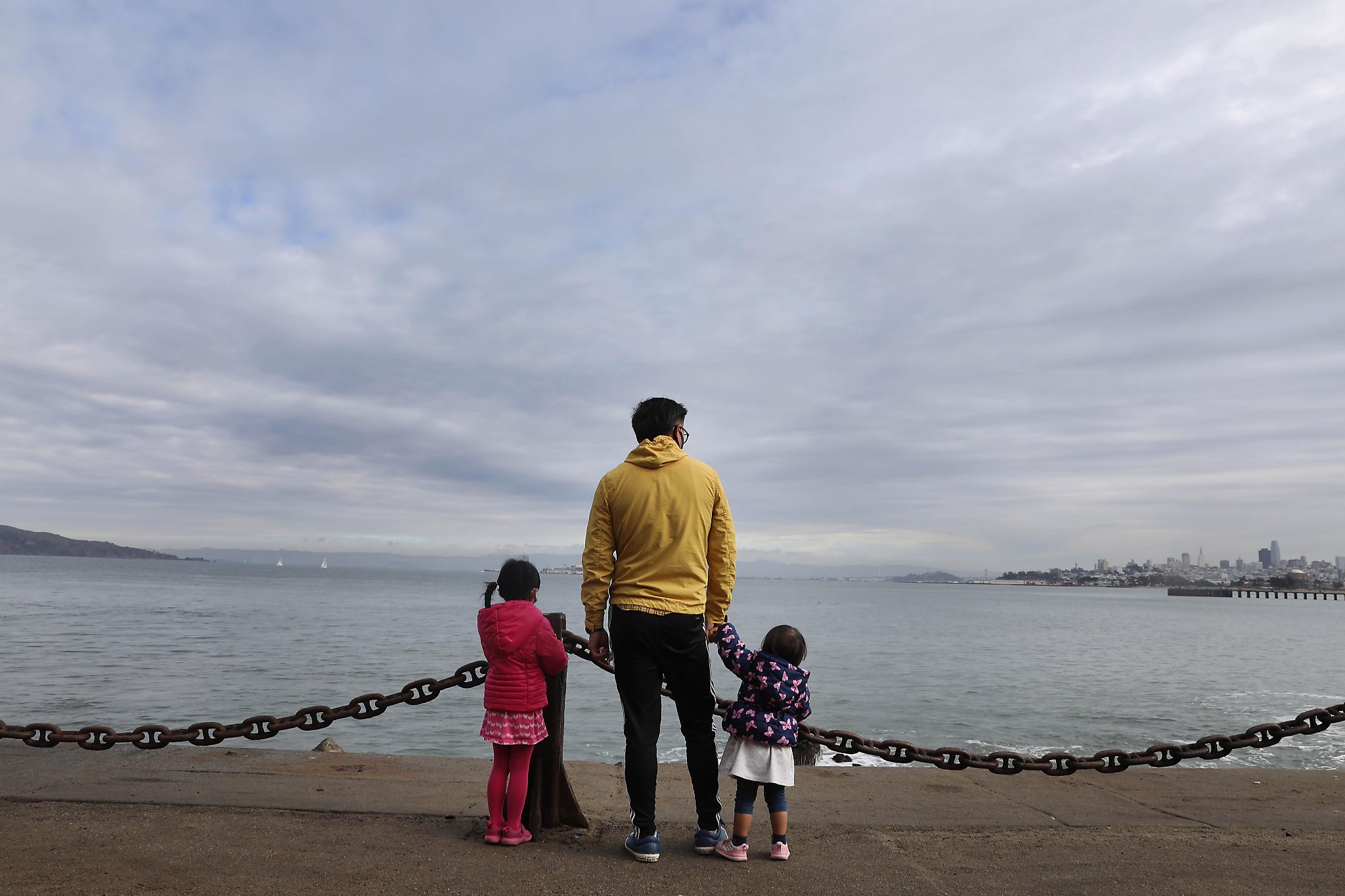
A damp weekend lies ahead for the parched Bay Area with two storm fronts expected to deliver much-needed light rain to the region and snow to the Sierra.
Light drizzles were reported early Friday afternoon, but much of the rain was expected to fall later in the day in the North Bay, sweeping into the Bay Area and as far south as Monterey overnight, according to the National Weather Service. Showers could continue into Saturday morning, but a second storm front is expected to arrive after midnight on Sunday and stick around for the rest of the day.
“It should bring a decent amount of rain to the region,” said Drew Peterson, a National Weather Service meteorologist.
The heaviest rain is expected to fall in the North Bay and the coastal mountains with a total of 1 ½ to 2 inches falling in most areas. A traditional soggy spot, Venado in Sonoma County, could get 2 ½ to 4 inches. North Bay valleys could get about an inch of precipitation.
For most of the Bay Area, however, about a half inch is forecast. Most of the rain will arrive in the first storm, Peterson said.
In the Sierra, the first storm is expected to drop as much as a foot of snow at Echo Summit and Donner Pass. Snow is expected to fall above 4,500 feet with the heaviest accumulation above 6,000 feet, according to the NWS. Chain controls are expected on Sierra highways.
Along with the precipitation, temperatures are expected to warm slightly on Saturday, continuing into next week, with temperatures in the daytime in the upper 50s to low 60s. Overnight temperatures are expected to warm into the mid-40s to low 50s as the storms pass through, then cool into the upper 30s to low 40s Monday.
Even with the rain, the Bay Area and Northern California remain dry and well beyond normal rainfall totals. San Francisco, for example, has received just a half inch since the rainfall season started on Oct. 1. Compared to the year-to-date average of 5.46 inches, that’s about 9% of normal.
“We are running a significant precipitation deficit,” Peterson said, “which is not surprising since this appears to be a La Niña year” in which lighter than average rainfall is expected.
This weekend’s expected rainfall, and projections of possible storms in the middle of next week and the following weekend, could be a sign that Northern California is turning the corner and heading into a wetter weather pattern, Peterson said. Later rainfall is common in La Niña years, he said.
Mike Anderson, state climatologist at the California Department of Water Resources, agreed that a change could be coming. The mass of high-pressure air that has hung over the Pacific, pushing storms northward to Canada and Alaska instead of allowing them to make landfall in California, has begun to give way.
“We’re at a really interesting time,” Anderson said. “We’re starting to see a bit of pattern change. Depending on how this pattern evolves will play a big role in whether we see a little bit of relief or a strong shift into a wetter pattern.”
But Peterson said National Weather Service meteorologists are still anticipating precipitation to be below normal this year.
“We’re looking at a 90% chance of having a lower than normal precipitation year,” he said. “It’s looking like another dry season, which probably doesn’t come as a surprise to most people.”
Chronicle staff writer Kurtis Alexander contributed to this report.
Michael Cabanatuan is a San Francisco Chronicle staff writer. Email: mcabanatuan@sfchronicle.com Twitter:@ctuan
"bring" - Google News
December 12, 2020 at 06:03AM
https://ift.tt/3oJTfCh
Weekend forecast: Light rains to bring much-needed moisture to Bay Area - San Francisco Chronicle
"bring" - Google News
https://ift.tt/38Bquje
Shoes Man Tutorial
Pos News Update
Meme Update
Korean Entertainment News
Japan News Update
Bagikan Berita Ini


0 Response to "Weekend forecast: Light rains to bring much-needed moisture to Bay Area - San Francisco Chronicle"
Post a Comment